Our services are provided by able professionals individually recruited to reflect our culture and founding principles. Working from within a quality-assured team, we start by clearly understanding what is required before researching then articulating the options.
Our agricultural and natural resource assessment capabilities assist landowners, agricultural enterprises, developers, planners and councils.
Our multi-disciplinary approach draws on the specialist skills and perspectives of experienced agricultural scientists, environmental scientists and engineers and geospatial specialists. This results in considered, practical advice that is often cited by proponents, mining companies, community groups and the courts.
The agricultural team is led by Philip Matthew, a lecturer in the University of Queensland’s School of Agronomy and Horticulture for more than two decades. He and his team apply years of knowledge and thorough research to produce professional, clear and practical advice and management plans.
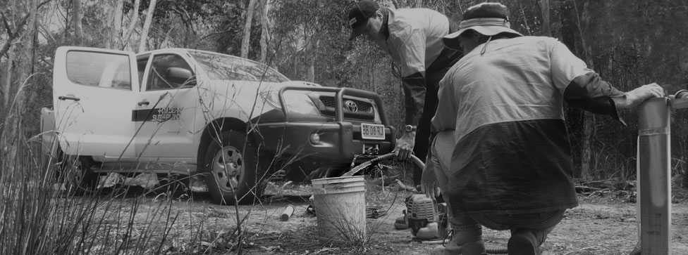
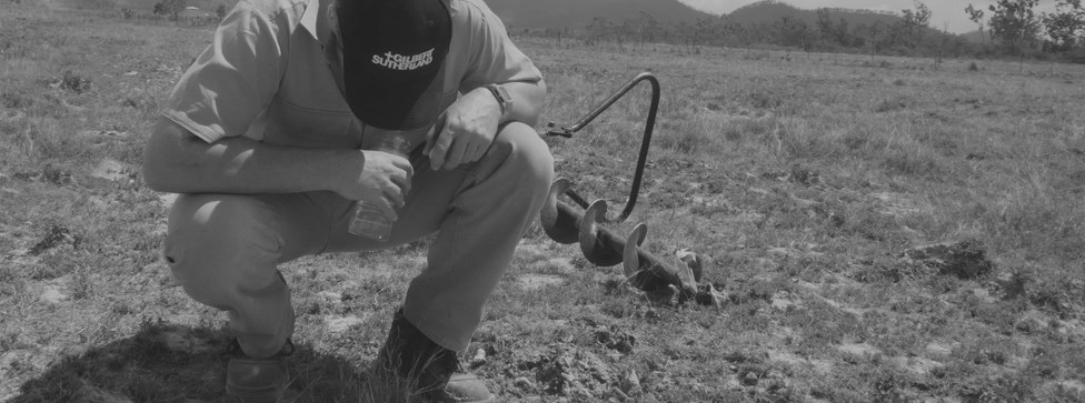
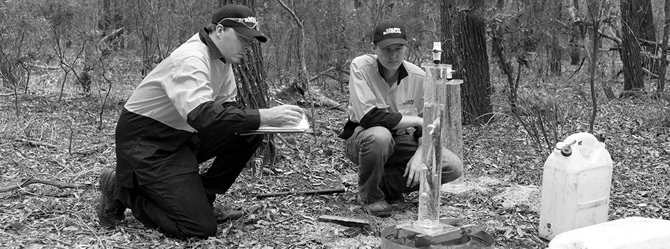
We conduct investigations and complete agricultural, exploratory, geochemical, geotechnical and groundwater programs.
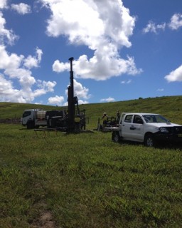
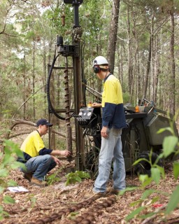
Drilling operations are supported by expert staff that can be called upon to address the client’s site environmental risk assessment, management and compliance obligations.
Gilbert & Sutherland’s rigs can achieve the installation and maintenance of a range of near-surface groundwater piezometers, monitoring bores, water supply and injection wells. Whilst addressing the investigation needs of our clients, our drilling and field services are also regularly commissioned by our competition, private individuals, major development and mining corporations and statutory authorities to cover capability gaps or meet other commitments.
Quotes and terms are available upon request.
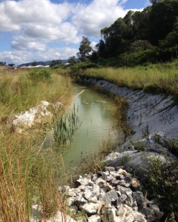
Our qualified staff are capable of analysing complex groundwater interactions, especially in low-lying coastal areas, sensitive environments, contaminated sites, mining and industrial contexts.
Assessing sites, identifying risks and designing effective management strategies are difficult tasks, requiring expert knowledge, skills and experience.
We employ qualified staff specially trained in groundwater assessment, modelling and management issues. Where necessary, we work with other disciplines to fully consider any crossover between our groundwater capabilities and potentially linked geological and geotechnical issues.
Our environmental management plans are professional, clear and direct and are supported by our solid track record of steering clients through application processes. Our team draws upon comprehensive resources and the capabilities of our in-house field services.
Our clients include an array of state and local authorities, some of the largest developers in the country, and a wide range of small to medium sized private enterprises.
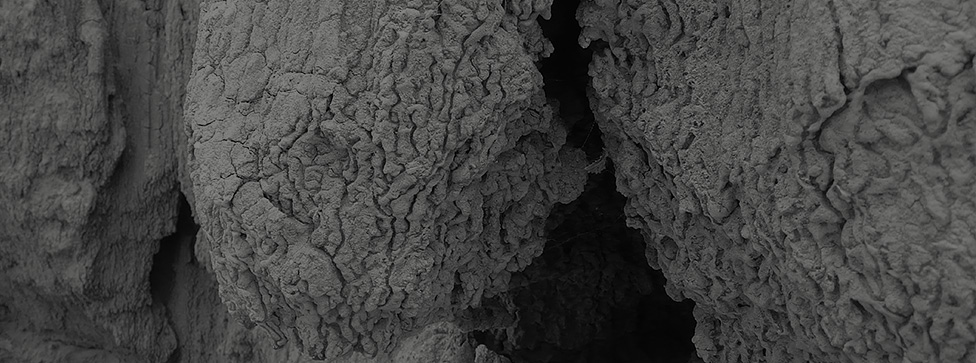
Contaminant science and soil rehabilitation, soil mapping and resource assessment represent some of our core skills.
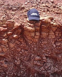
We maintain that all robust land-use decisions, including development or protection, require appropriate consideration of the soil resource.
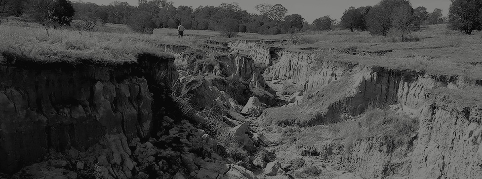
A comprehensive picture of the nature and distribution of site soils is an essential step in any development, change of land use or management plan. Stormwater management, erosion control, agricultural suitability assessment and land condition assessment are just some of the many tasks that require a complete soil study.
Our soil assessments integrate considerable experience and thorough field research with gap analysis, computer modelling and peer review. With ready access to drilling capabilities and trained field teams, our soils management advice is in demand. Our experts are regularly engaged to assist a broad range of private clients, agricultural enterprises, statutory authorities and the courts.
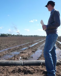
Our staff provide rigorous and integrated scientific assessment of water requirements, storage needs, treatment and management.
Given project-specific experience in mining, agriculture, development and water supply applications, our team is well-placed to properly value the water in question as well as assessing the risks to the resource.
Our hydraulics and hydrology unit is comprised of a team with extensive experience in hydraulic and hydrological modelling, water supply planning and mine-water management.
We have an infrastructure team experienced in key aspects of water supply and waste water planning, including community consultation and strategy development.
Our people are currently engaged in modelling some of the largest water supply, port, mining and irrigation projects in both public and private ownership.
Landfill operations are essential for the safe and secure disposal of society’s wastes, but they also represent substantial pollution risks. They are subject to stringent regulations aimed at minimising impacts.
For new landfills, judicious location is the single most effective environmental management tool. This means the site assessment process is critical to success.
For existing landfills, the opportunity to achieve best practice design standards is typically passed. The operator’s efforts may be best focused on technical assessments and design work to mitigate and manage existing environmental impacts whilst making appropriate plans for closure and post-closure management.
New landfills:
- Identification, preliminary assessment and raking of potential landfill sites
- Field investigation of potential landfill sites
- Conceptual assessment and design of landfill cells and infrastructure
- Landfill cell construction advice
- Landfill operational management advice
- Surface water and stormwater assessment management
Existing landfills:
- Desktop assessment of landfill history, compliance, impacts and challenges
- Field investigation of existing landfill sites including soil survey, contamination, geotechnical and environmental drilling, groundwater monitoring bore installation
- Conceptual assessment (including modelling) for closure planning and post-closure landform rehabilitation and management
- Post-closure monitoring and compliance
A
- Acid Sulfate Soils
- Advanced research
- Agriculture
- Agronomy
- Analysis – plant tissue, soil and water
- Architectural drawings
B
- Biophysical constraints identification
- Built environment assessment
C
- Carbon accounting
- Coal mine impacts – agriculture, soil and water
- Coal seam gas – groundwater interactions
- Coastal processes
- Contaminant transport
- Contamination
D
- Dam design
- Dam safety
- Denitrification
- Dewatering assessment
- Dewatering management
- Drawings and illustration
- Drilling – geochemical and geotechnical
E
- Effluent disposal
- Effluent management
- Empirical modelling
- Environmental economics
- Environmental management
- Erosion and sediment control planning
- Expert evidence
F
- Fluid dynamics
G
- Geographic Information Systems
- Geology
- Geomorphology
- Good Quality Agricultural Land (GQAL) assessment/validation
- Groundwater
H
- Hydraulics
- Hydrogeology
- Hydrography
- Hydrology
I
- Infiltration testing
- Infrastructure design
- Integrated water management
- International aid
J
- Joint expert reporting
- Judicial review – technical advice
K
- Knowledge development – soil and water
L
- Land use assessment
- Landfill
- Landform assessment
- Landscape rehabilitation
- Leachate monitoring
M
- Marine vegetation permits and management
- Masterplanning – infrastructure and water
- Mining operations – impact assessment
N
- Native title and traditional owner consultation (soil and water)
- Natural resource assessment (soil and water)
- Notice response
- Nutrient assessment
O
- Oil and gas environmental management
- Options assessment – infrastructure
P
- Peer review
- Prescribed activities (agricultural and industrial)
- Project assessment
- Project management
Q
- QA/QC sampling and advice – contamination
- Quarry assessment
R
- Rehabilitation
- Remediation
- Research
- Resource entitlement
- Rock coring
S
- Sand mining
- Sediment sampling
- Seismic assessment
- Soil assessment
- Soil atmosphere
- Soil contamination
- Soil fertility assessment
- Soil mapping
- Stormwater assessment
- Stormwater management
- Strategic Cropping Land (SCL) assessment and validation
- Stratigraphy
- Stream stability
- Sustainability assessments
T
- Telemetry
- Third party review
- Total water cycle assessment and management
- Town planning
U
- Underground storage tank (UST) removal advice
- Urban infrastructure advice – water/wastewater
V
- Vadose zone assessment
- Validation sampling and advice
- Visualisation – flooding, hydraulics and groundwater
W
- Waste management
- Water balance and modelling
- Water resource engineering
X
- Xanthate detection
Y
- Yearly compliance monitoring
Z
- Zero net impact assessment
- Zoning advice